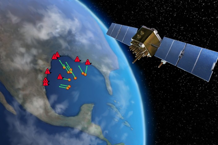
App uses NASA satellites to track sargassum in the Gulf of Mexico as it approaches Texas coastline
Image: Division of Research | Download
A new, first-of-its kind app developed with NASA scientists will allow tourists, fishermen and boaters to track the massive mats of seaweed in the Gulf of Mexico know as sargassum, and to estimate the hour they will reach the Texas coastline.
Texas A&M University at Galveston researchers unveiled the app, which they call SEAS (Sargassum Early Advisory System), during the 2015 Gulf Coast Sargassum Symposium held at the Galveston Island Convention Center.
In 2014, 10-foot mounds of the seaweed came ashore in the Galveston area, marking the worst such incident in 50 years.
The new app can also track red tide, a harmful algae which produces toxins that disrupt seafood harvesting, and which pose a threat to people, fish, marine mammals and birds. Red tide usually hits the Texas coast in September and October.
On a budget of $175,000, SEAS is the product of collaboration between Texas A&M Galveston marine scientists Tom Linton and Robert Webster with NASA’s Duane Armstrong and Gene Jones.
Linton said, “What makes this unique is the use of satellite imagery provided by NASA, and without it, this system would not be possible.”
NASA’s Armstrong said, “This is the best early warning system we have right now to track the seaweed. After last year, we know there is a huge demand for such early information that this app will provide.”


