

Armed with traffic data, drivers can avoid congestion, reduce emissions
A new study of connected-vehicle technology finds that drivers can use their access to online traffic data to make detours, ease congestion and lower emission levels. The study received the best paper award at the 2018 American Society of Civil Engineers International Conference on Transportation and Development.
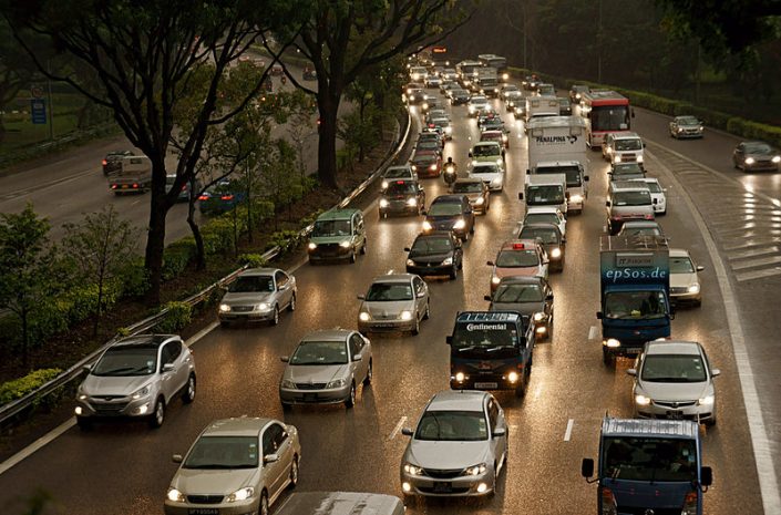
In collaboration with Purdue University, researchers in the Zachry Department of Civil Engineering at Texas A&M University studied the impact of connected vehicle technology on network-wide traffic flow and fuel consumption. Connected vehicles are equipped with Internet access and can wirelessly communicate inside and outside of the vehicle.
Members of the research team are Mark Burris, the department’s Herbert D. Kelleher Professor; Alireza Talebpour, assistant professor; Arezoo Samimi, graduate student; and Kumares Sinha, Edgar B. and Hedwig M. Olson Distinguished Professor, Lyles School of Civil Engineering, Purdue University, and a Faculty Fellow of the Hagler Institute of Advanced Study at Texas A&M, Class of 2015-16.
“We are at a very transformative phase (in the transportation industry) and are at the lower end of the spectrum in terms of autonomy,” Sinha said. “The success of connected vehicles depends on if more people are willing to be connected; then it will bring more benefits and progress.”
The researchers developed a simulation model of a traffic network encompassing two congested roads in El Paso. These roads were chosen for this study not only because they are highly congested, but also because they encompass a non-attainment area, meaning that any project implemented in the area would improve air quality, or at least have no negative effects. In addition, the researchers developed an early warning congestion system that would function as a more interactive and intelligent Google Maps system.
“We are working on the theoretical component of the technology and what we have is a simulation algorithm of a road network that we tried to make as realistic as possible to be able to consider the scenarios and see how it works,” Samimi said.
To do this, the team considered two cases of non-occurring and recurring congestion and developed incident scenarios to see what the effects of that would be. Congestion areas behave differently in a non-occurring, rural city like Amarillo or a larger, metropolitan area like Houston.
After the driver receives a warning of congestion ahead, the driver is presented with options for re-routing away from the congested area. Options for re-routing included the shortest travel time for the driver and travel routes based on fuel efficiency.
“The mileage might affect the fuel consumption, but it’s also important how the drivers are traveling on those lanes,” Samimi said. “If you have a lot of congestion and there is a lot of stopping and going on those lanes then the fuel consumption (and congestion) will be higher.”