

Drones and satellites could improve travel-time estimates at borders
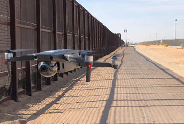
Research recently completed by the Texas A&M Transportation Institute’s (TTI’s) Center for International Intelligent Transportation Research (CIITR) demonstrated the potential usefulness of unmanned aerial systems (UAS) and satellite images, combined with artificial intelligence (AI), for improving accuracy of border travel time estimates in extreme queuing conditions.
The land ports of entry (LPOEs) at the U.S.–Mexico border, for instance, often have long wait queues for commercial vehicles, and especially during the most congested periods, wait times are not always reflected as accurately as possible for those waiting in line.
Building on this research, a CIITR team manages the project Aerial Imagery and AI Applications for Cross-Border Transportation Operations.
Two of the team members are Valeria Martinez, senior research associate, and Alejandro Berlanga Alzaga, software applications developer I. Martinez and Berlanga work in TTI’s Research & Implementation Program in the El Paso Office and conduct field work as part of this project. Other team members include Rafael Aldrete, principal investigator, CIITR director, and senior research scientist; and Swapnil Samant, co-PI and associate research scientist.
The team’s goal is to test and improve methods and AI algorithms from the previous CIITR research and explore other applications for aerial, satellite and AI technologies in transportation operations. Due to recent enhancements in satellite imagery, CIITR researchers can better control the timing and number of images they collect and incorporate additional imaging capabilities. The team is also building 3-D models from the images as another way to present and analyze data.