

477 miles of lightning: A&M scientist observes record-setting megaflash
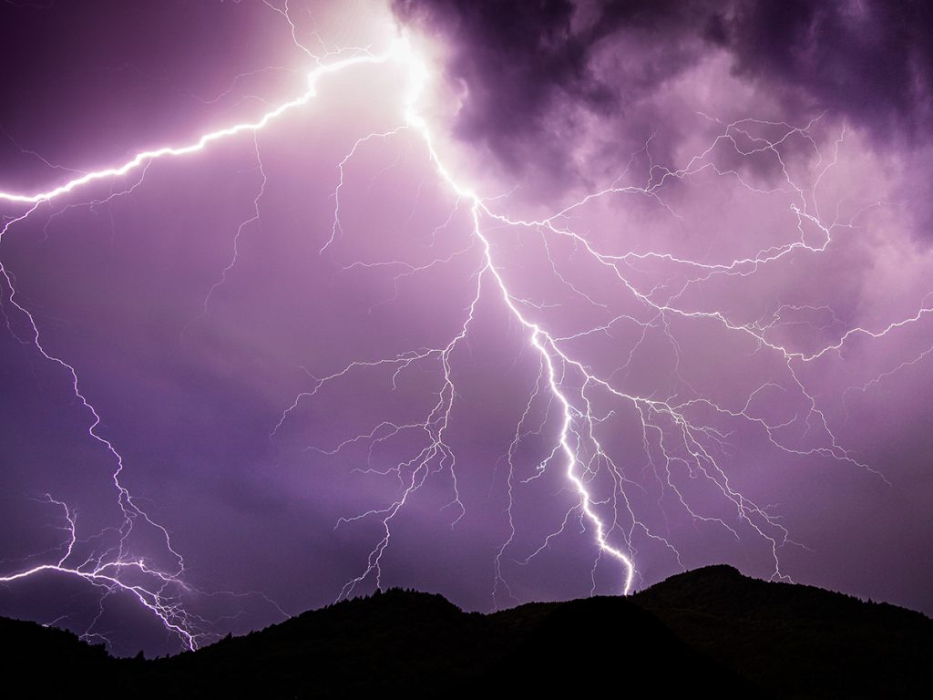
Early in the morning on April 29, 2020, a massive lightning strike flashed across the sky south of College Station, and a casual observer would have had no idea that it stretched more than 400 miles across multiple states.
Timothy Logan, assistant professor in the Department of Atmospheric Sciences at Texas A&M University, observed the origins of the megaflash and recalls that stormy night as a busy evening for meteorologists and weather enthusiasts. Logan operates the Houston Lightning Mapping Array network (HLMA).
This month the World Meteorological Organization (WMO) announced the megaflash was officially certified as the world record for the longest reported distance for a single lightning flash: a horizontal distance of about 768 kilometers, or 477 miles.
According to lightning scientists, megaflashes are those flashes that are at least 100 kilometers in distance and do not occur in ordinary thunderstorms. They need large, electrified clouds that discharge at low enough rates to allow for single horizontal flashes spanning great distances.
These conditions are created by Mesoscale Convective Systems (MCSs), which have overhanging anvils and rainy stratiform zones. However, few MCSs produce lightning at extreme levels and such rare storms have been detected at only a few sites in the past. In recent years, the improved availability of space-based observations has enabled scientists to observe extreme lightning in more regions across the globe.
In this case, a combination of ground-based and space-based platforms was utilized to help confirm the observation of the megaflash.
“Randall Cerveny, Michael Peterson, and Timothy Lang who analyzed the geostationary lightning mapper (GLM) data from the GOES-16 satellite reached out to me and asked me to help confirm the megaflash with the HLMA,” Logan said. “The HLMA helped determine the origin of the megaflash and the GOES-16 satellite helped monitor the whole distance of it.”
After the observation of the megaflash, Logan is now conducting an unprecedented analysis to investigate the positive and the negative charge layers within a storm, which he believes will help researchers forecast storms during the TRacking Aerosol Convection interactions ExpeRiment (TRACER) campaign.
“Knowing the distribution of electric charges of a specific layer within a storm will provide a lot of details on the cloud microphysics, which will help to better predict the storm behavior.”
Observational data produced by HLMA could help scientists gain better insights on how and why a megaflash happens. All data is accessible for free on the HLMA site for other researchers to use, Logan said, and the public could also gain helpful information for avoiding lightning areas by looking at the real-time data provided by the page.